The Power of Reliable Survey Data

Surveying & Spatial Information

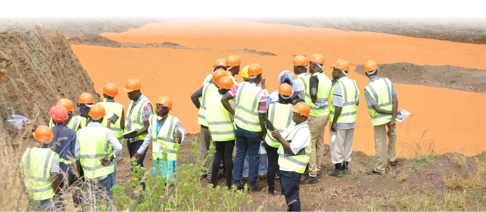
At Lukhwells, we understand that precise survey data and spatial information are the foundation for successful project execution. We employ seamless field-to-office systems, ensuring that critical data is collected, processed, and delivered to clients efficiently. This real-time availability of information empowers stakeholders to make informed and timely decisions that drive project success.

LUKHWELLS
Lukhwells

Holistic Land Development and Subdivision Services

Our expertise extends across major land development subdivisions, including residential, rural, and industrial projects. Lukhwells takes a holistic approach to subdivision services, offering detailed solutions in:

  • Lot Layout and Design:
    We create optimal lot layouts that maximize land use efficiency while considering the marketability and future needs of the community.
  • Staging Strategies:
    Our team designs strategic staging plans to ensure projects are executed smoothly and deliver high yields.
  • Yield and Marketability Analysis:
    We provide expert insights on the potential yield and marketability of developments, ensuring economic viability and sustainable growth

Why LUKHWELLS?

Cutting-Edge Technology and Expertise

We utilize advanced technologies like 3D visualization, digital terrain modeling, and GIS analysis to deliver precise mapping, data capture, and environmental monitoring. This ensures that every project is grounded in reliable data and top-tier surveying practices.

Supporting Sustainable Development

Lukhwells supports sustainable development by offering high-quality spatial information for climate change and environmental management. Our surveying services facilitate sustainable land use, environmental conservation, and urban air pollution reduction.

Leader in Surveying Excellence

Lukhwells is a leader in surveying excellence, providing a comprehensive range of services that adhere to the highest industry standards and regulatory requirements.